
The Hongrin Dam is a 125 m arch dam built between 1965 and 1969 above La Lécherette, in the Vaud Prealps. You can cross its crest by road, walk along the reservoir and set off on hikes to the nearby passes.
Dams
Hongrin Dam
Main highlights
- Concrete arch dam 125 m high with a 292 m crest, crossed by a road
- Reservoir holding 53 million m³, surrounded by pastures, with a path along the west shore
- Hikes to the Col de Chaude, the Gummfluh or the Col de Jaman, cross-country skiing in winter
Overview
The Hongrin Dam stands at an altitude of 1,255 m in the La Lécherette valley, between the cantons of Vaud and Fribourg. Built between 1965 and 1969, this concrete arch dam is 125 m high with a 292 m crest. It holds back an artificial lake of 53 million m³, fed mainly by the Hongrin river.
The structure is part of a hydroelectric complex that includes the Vernex Dam downstream. The water drives the turbines of the underground Veytaux power station, near Montreux. The pumped-storage system pumps water back up during off-peak hours and releases it through the turbines at times of peak demand.
"*" indicates required fields
What to see and do
From the road across the dam, you get a bird’s-eye view of the reservoir and the valley below. On clear days, the view stretches to the surrounding peaks, including the Gummfluh, and the ridges between Vaud and Fribourg. The lake level varies with the season and electricity production needs : it is usually high in summer.
A path runs along the west shore of the lake for an easy, flat walk. Several trails start near the dam, including the route to the Col de Chaude, a natural viewpoint over the lake. Experienced hikers can climb the Gummfluh (2,458 m) or reach the Col de Jaman via an alpine route.
In winter, the pastures around La Lécherette offer cross-country ski trails. Snowshoe routes are also marked in the area.
Practical information
Access : from Aigle via Le Sépey and La Lécherette, on a winding mountain road, or from Château-d’Oex via the Col des Mosses. Parking right next to the dam.
Public transport : PostBus from Aigle via Le Sépey, stop “La Lécherette, village”, a few hundred metres away.
On site : free access to the outdoor site. The inside of the dam is not open to visitors.
Visit duration : half a day to a full day for hikes.
Visitor tips
Ideally visit between May and October, when the road is clear, and in the morning for the best light : late in the day, the sun drops behind the mountains. Allow about 1 h 30 one way to the Col de Chaude.
At altitude, bring hiking boots and warm clothing, even in summer. In winter, check road and weather conditions before setting off.
Nearby attractions
- The Col de Jaman, at 1,512 m between Vaud and Fribourg, gives access to the Dent de Jaman and views over Lake Geneva.
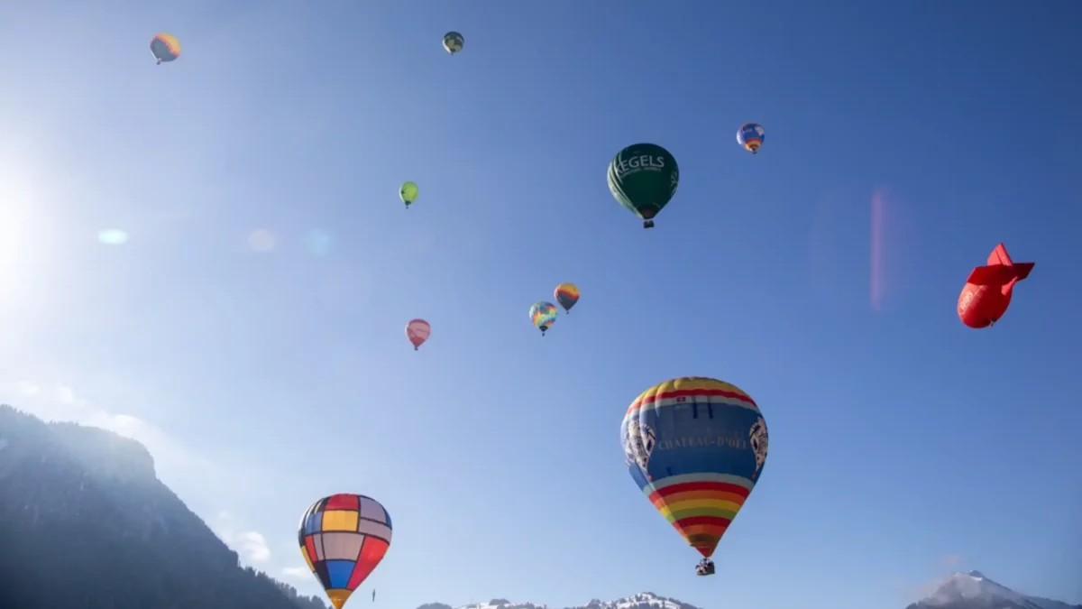
- The Espace ballon in Château-d’Oex is an interactive museum dedicated to hot-air ballooning.
- Chillon Castle is a medieval fortress set on the shores of Lake Geneva.

 Report an error or complete the informations
Reviews about this place